Ben Braman
Trails Coordinator
A Trail Town is a destination along a long-distance trail or adjacent to an extensive trail system. Whether the trail is a hiking trail, water trail or rail trail, users can venture from the path to explore the unique scenery, commerce and heritage that each trail town has to offer. It is a safe place where both residents of the town and trail users can
walk or drive to find the goods and services they need.
Hazard is situated on the North Fork of the Kentucky River, Rowdy is located on Troublesome Creek of the North Fork of the Kentucky River, and Buckhorn Lake is located on the Middle Fork of the Kentucky River. Several access ramps are available within the city of Hazard and also throughout Perry County. The Buckhorn Lake State Resort Park is located in Perry County. Currently, two designated trails exist at Buckhorn Lake State Park, with others in the planning stages.
The North Fork of the Kentucky River is approximately 168 miles (270 km) long. It rises on the western side of Pine Mountain, in the Appalachians of extreme southeastern Kentucky, in eastern Letcher County near the Virginia
state line in Payne Gap, near the intersection of US 23 and US 119. It
flows generally northwest, in a winding course through the mountainous Cumberland Plateau, past Whitesburg, Hazard and Jackson. It receives Rockhouse Creek at Blackey
near its source. Approximately 8 miles (13 km) southeast of Hazard, it
receives the Carr Fork. It receives Troublesome Creek at Haddix,
southeast of Jackson. Three miles upstream from its confluence with the
South Fork, it receives the Middle Fork. It joins the South Fork to
form the Kentucky at Beattyville.
Basic Elements of a Trail Town strategy:
- Enticing trail users to take detours off the trail and into your town via a connector trail.
- Welcoming trail users to your town by providing information about the community readily available on the trail.
- Making a substantial path between your town and the main trail.
- Educating local businesses on the economic benefits of meeting trail tourists’ needs.
- Recruiting new businesses or expanding existing ones to fill gaps in the goods or services that trail users need.
- Promoting the trail-friendly character of the town.
- Working with neighboring communities to promote the entire trail corridor as a tourist destination
Current Trails
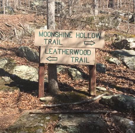
Leatherwood Trail
Buckhorn Lake State Resort Park
Buckhorn, Kentucky
About: looped trail, lefthand fork where two trails meet, ascends hill, levels out and descends hill, numerous steps, overlook of lake, strenuous
Length: 0.5 mi
Difficulty: Strenuous
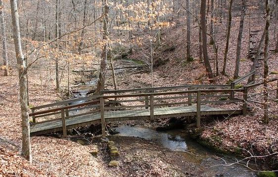 Moonshine Trail
Buckhorn Lake State Resort Park
Buckhorn, Kentucky
About: self guided interpretative trail, trailhead is located at the right fork of the two trails, ends behind park office
Length: 1 mile
Difficulty: Easy
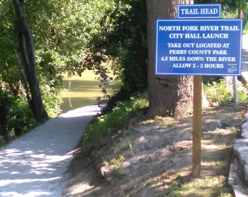 North Fork River Trail
Hazard, Kentucky
About: Trailhead is located behind City Hall and runs to the Perry County Park launch ramp.
Length: approx. 5 miles
Difficulty: Easy (and relaxing)
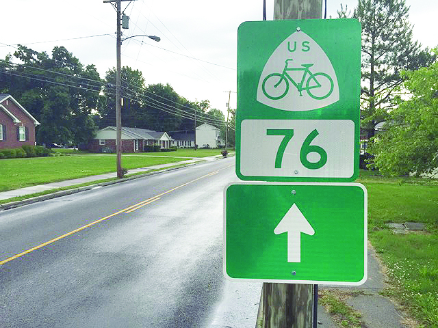 TransAmerica Bike Route (USBR 76)
Perry County, Kentucky
About: From the west, trailhead is located just northwest of Buckhorn, travels along KY 28, 451, and 80/550 to Dwarf.
Length: approx. 40 miles
Difficulty: Easy, moderate, and strenuous
 River Arts Greenway
Hazard, Kentucky
About: Trailhead is located at Triangle Park and runs to the International Peace Garden.
Length: approx. 1 mile
Difficulty: Easy (and relaxing)
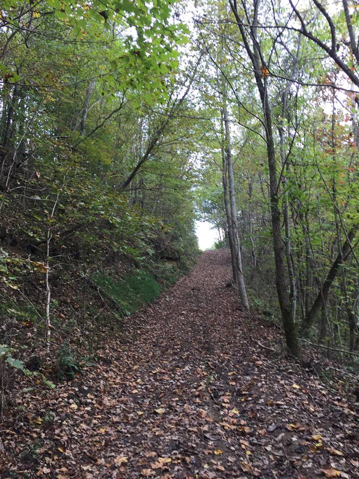 Perry Park Trail System
Perry County Park
Hazard, Kentucky
About: self guided interpretative trails, trailhead is located in the Perry County Park
Length: 6.25 miles
Difficulty: Moderate to Strenuous
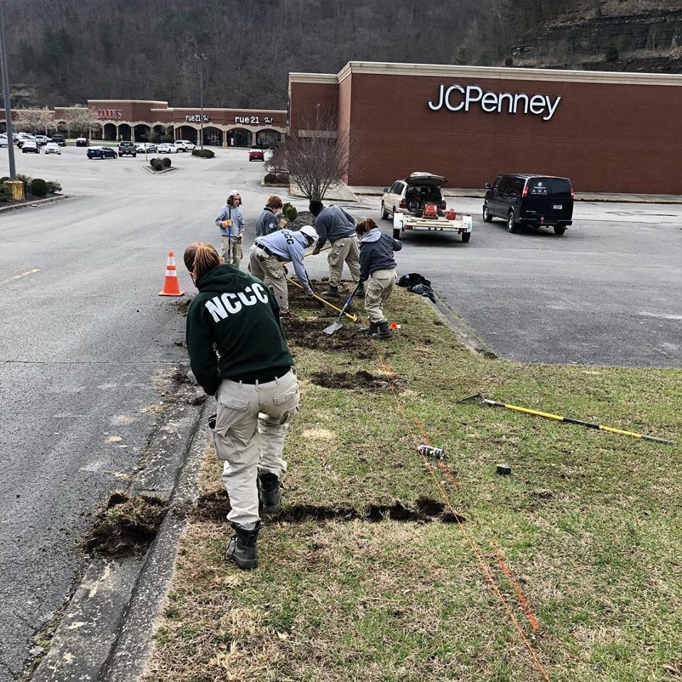
Healthy Mile
Hazard, Kentucky
About: Trailhead is located behind ARH Medical Mall and runs the perimeter of the Black Gold Shopping Plaza.
Length: approx. 1 mile
Difficulty: Easy
Proposed Trails
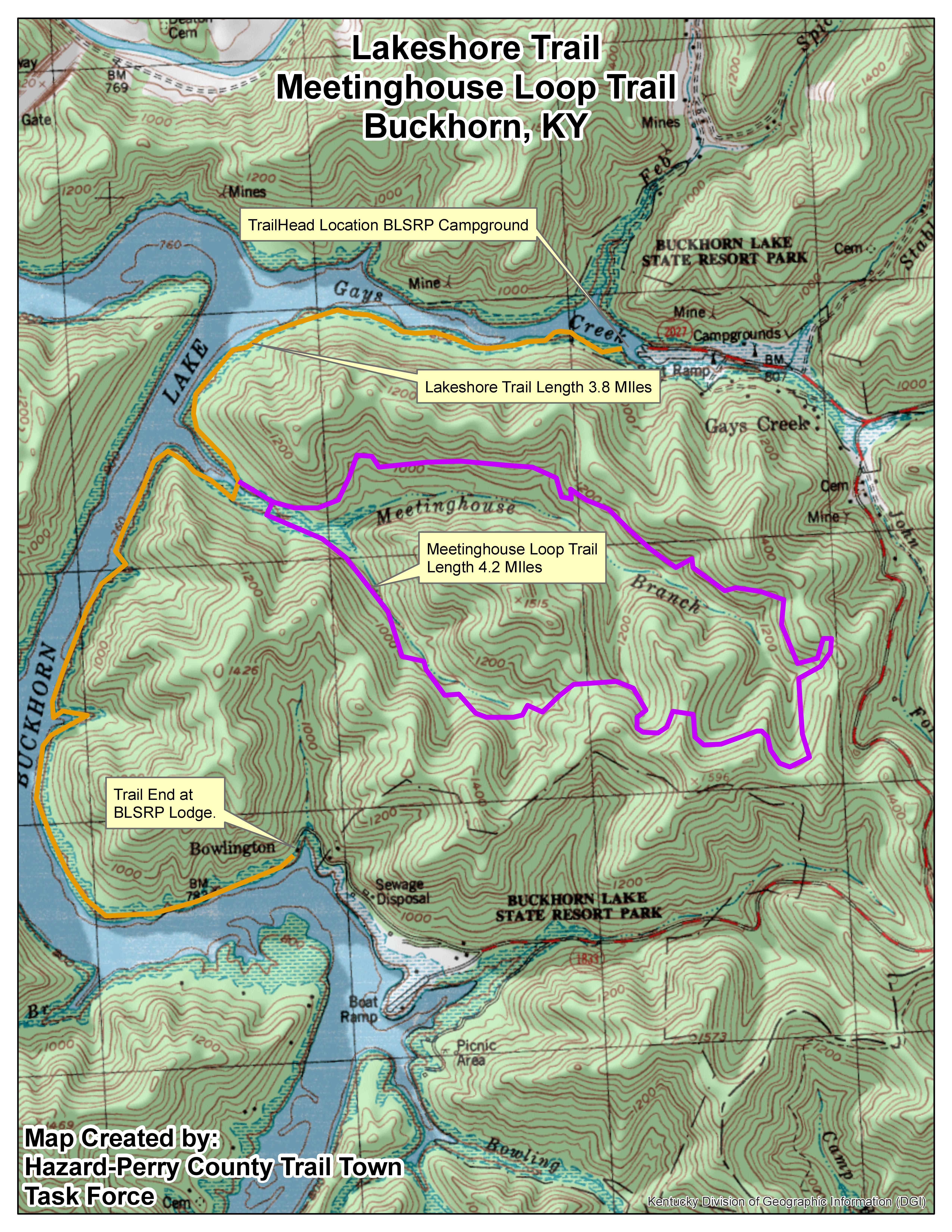 Lakeshore & Meetinghouse Trails
Buckhorn Lake State Resort Park
Buckhorn, Kentucky
About: self guided interpretative trail, trailhead is located behind park office
Length: 3.75 miles
Difficulty: Easy to Moderate
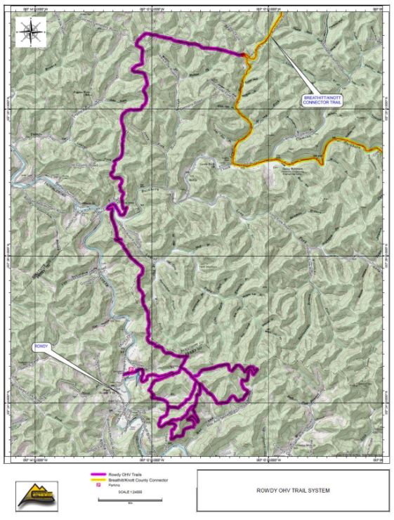 Rowdy ATV Trail
Rowdy, Kentucky
About: Wilderness adventure trail, trailhead is located in the Rowdy, Kentucky
Length: approx. 20 miles
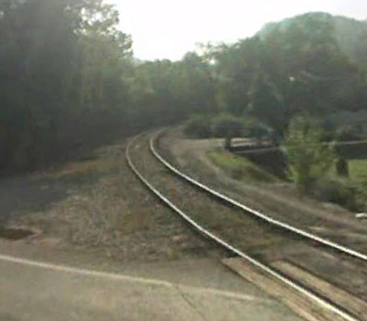 Double H Linear Trail
Hazard, Kentucky
About: Trailhead is located near Walkertown Bridge and runs with the railroad bed to Hiner.
Length: approx. 7 miles
Difficulty: Easy
The Kentucky Mountain Regional Recreation Authority
The Kentucky Mountain Regional Recreation Authority, KMRRA, was created and
established as an independent, de jure municipal corporation and political
subdivision of the Commonwealth. The purpose of the authority is to establish, maintain, and promote a recreational
trail system throughout the KMRA to increase economic development, tourism, and
outdoor recreation for residents and visitors. The recreational trail system shall be
located with significant portions of the system situated on private property made
available for use through lease, license, easement, or other appropriate legal form by
willing landowners.
The next meeting of the KMRRA will be held at the Knott County Sportsplex on July 29, 2021 at 1pm.

Kentucky Trail Towns
Blue Ridge Outdoors